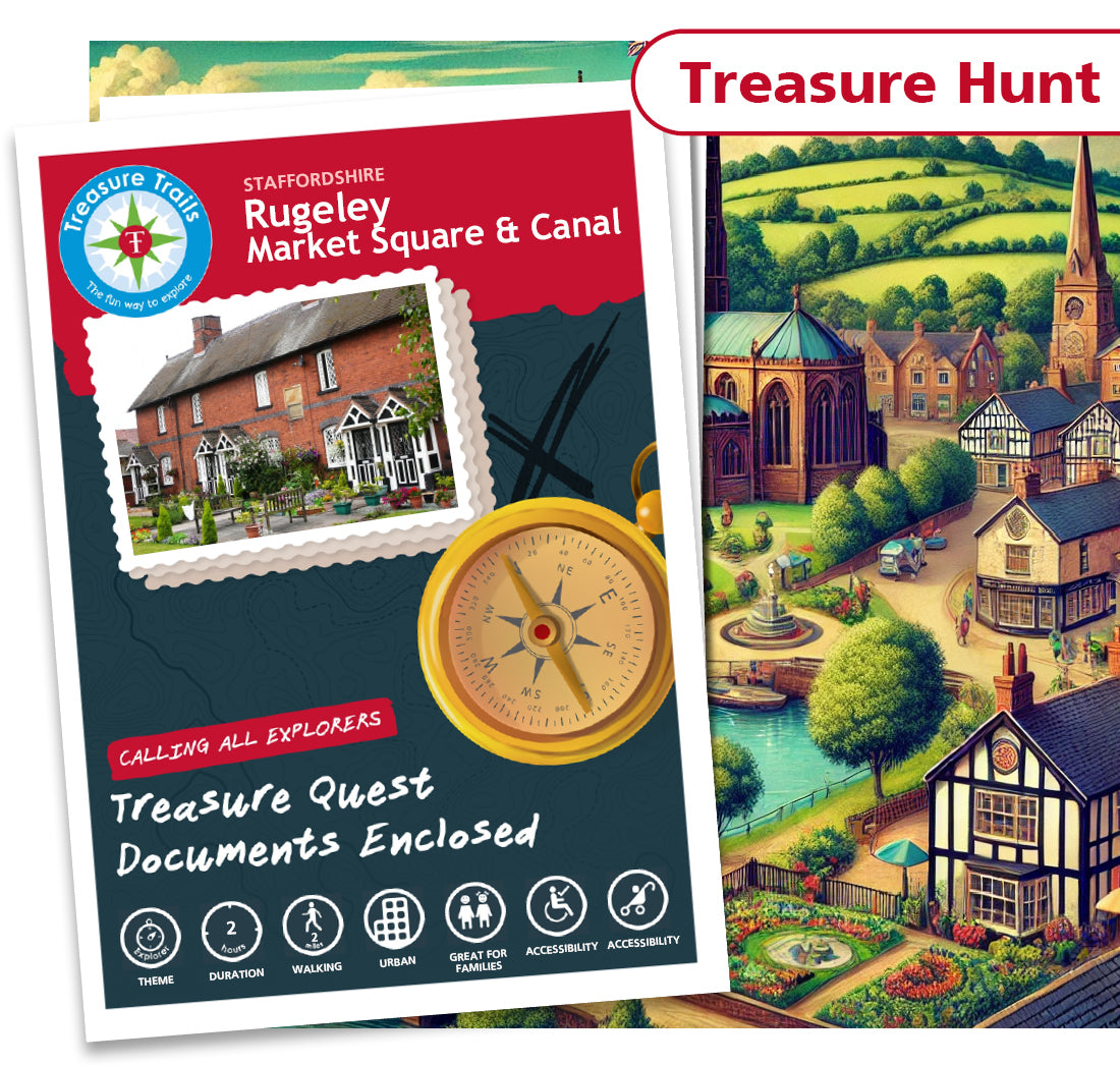
Rugeley - Market Square & Canal
Rugeley - Market Square & Canal
Couldn't load pickup availability
Treasure Hunt Trail

Treasure
Hunt

2 Hours

2 miles

Accessible

Accessible

Dog
Friendly
Turpin's Treasure Trail - A Chance to Uncover the Infamous Highwayman's Hidden Hoard
For years, the small town of Rugeley has been shrouded in mystery and intrigue, with tales of the notorious highwayman Dick Turpin and his stolen horse, Black Bess, roaming the streets. But there's more to the story than just a stolen steed-rumour has it that Turpin left behind a hidden hoard of treasures as he made his daring escape from the law. And now, thanks to a chance discovery at Rugeley Library, YOU have the opportunity to uncover the truth and claim the riches for yourself!
A Chance to Trace Turpin's Treasure
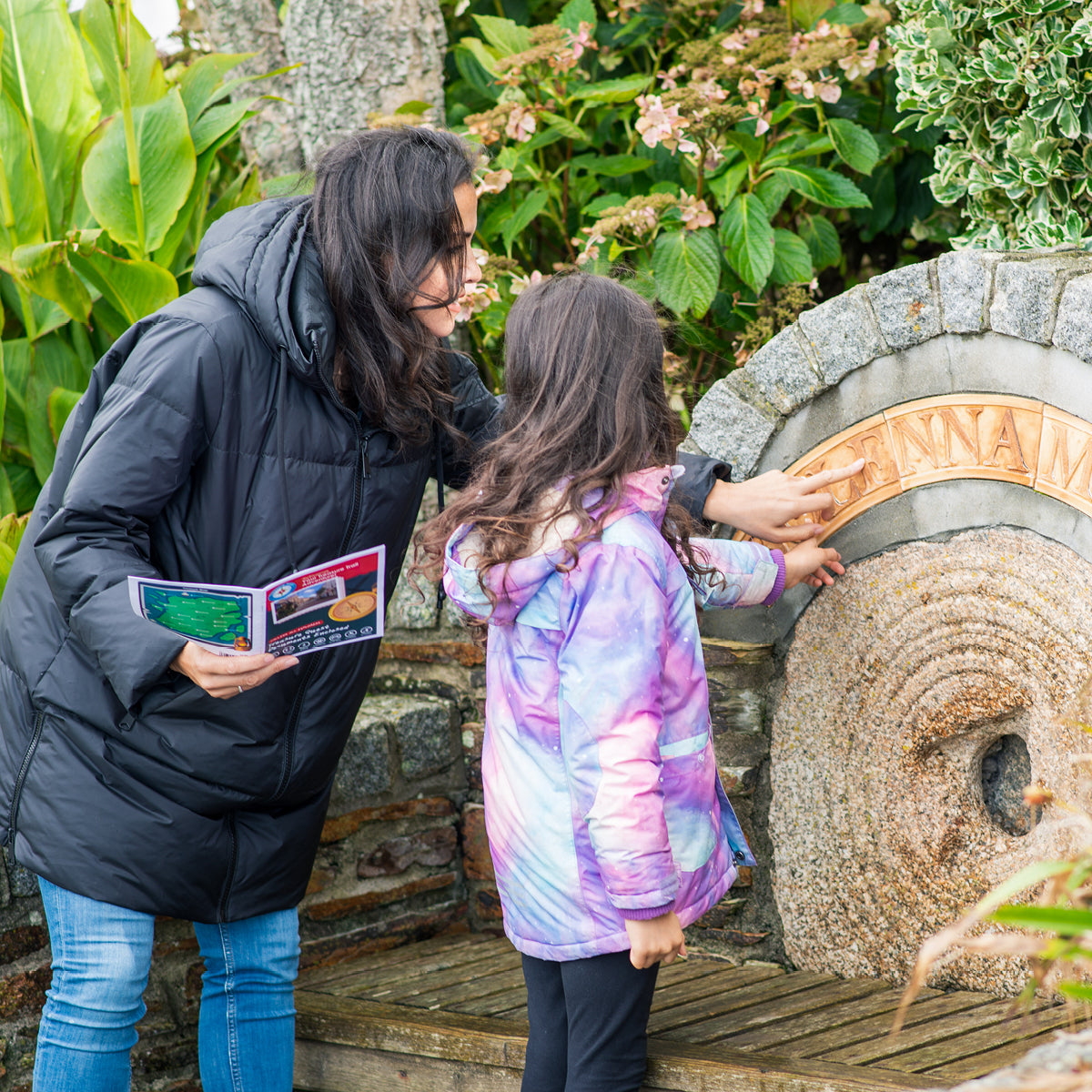
Join us on this immersive and family-friendly self-guided trail through the charming town of Rugeley. Starting at the bustling Market Square, you'll follow in the footsteps of the infamous highwayman as you solve sneaky clues hidden on existing buildings, permanent features, and monuments. Keep an eye out for Black Bess along the way, as you journey towards the final destination-the tranquil Canal, just a short distance from where Turpin's horse was originally stolen.
As you explore the town, you'll discover the fascinating history of Rugeley, with clues hidden in the street names themselves. But be warned-this trail won't be easy. Only the most daring adventurers will be able to follow the map, crack the clues, and pinpoint the true hiding spot of Turpin's treasure trove.
Are you ready to embark on this exciting adventure and uncover the hidden hoard of the infamous Dick Turpin?
The Details
- A Treasure Hunt themed walking Treasure Trail around Rugeley
- Ideal for discovering more about where you live or exploring somewhere new
- Trails are done in your own time at your own pace
- This Trail is approximately 2 miles long and takes 2 hours to complete
- This Trail is suitable for all ages from 6 - 106 (no children necessary!)
- One Trail booklet is enough for 4-5 people
- Chance to win some real Treasure! All correct answers are entered into the monthly £100 prize draw
- Circular loop Trail
- Mobile phone text service for clue answers if you get stuck, ensuring that no mystery goes unsolved
- This Trail can be sent to you in the post or downloaded today for instant Trailing fun!
Trail Location
Trail Location
The Rugeley Treasure Trail starts at:
Anson Street
Rugeley
Staffordshire
Staffordshire
WS15 2BB
England
Mini Explorer Club
Mini Explorer Club
We have three super duper themed Clubs for your child to enjoy as part of their Treasure Trail experience.
Perfect for 4-8 year olds, the concept behind the Clubs is that your child will get a bundle of goodies to excite
them about their forthcoming Trail experience, something to keep them entertained whilst travelling to and from
the Trail, and something to be given on completion of the Trail as a keepsake.
Show more »
What is a Treasure Trail?
What is a Treasure Trail?
Before You Set Off
Before You Set Off