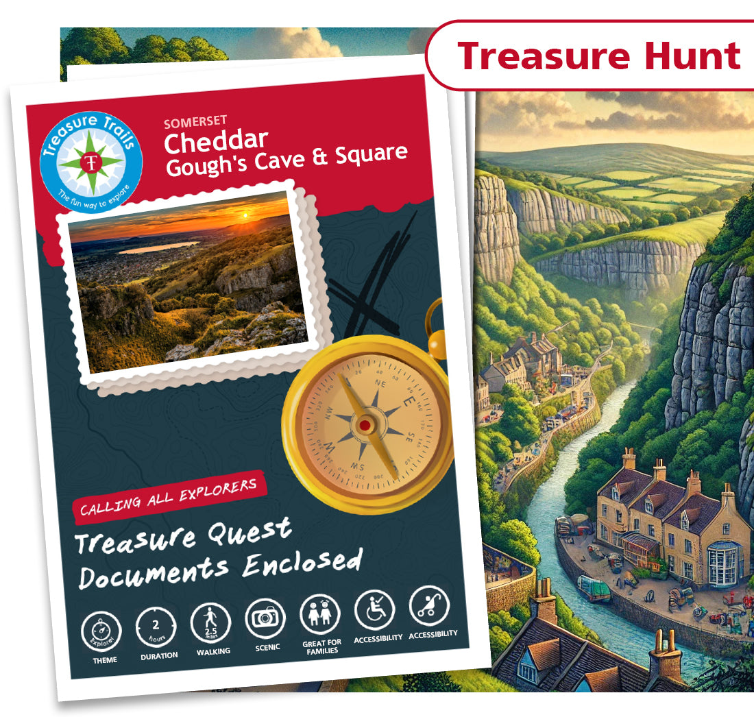
Cheddar - Gough's Cave & Square
Cheddar - Gough's Cave & Square
Couldn't load pickup availability
Treasure Hunt Trail

Treasure
Hunt

2 Hours

2.5 miles

Accessible

Accessible
The Great Cheddar Recipe Heist - Help Recover the Stolen Page!
Cheddar's favourite cheese-making maestro, Marcy Pony, has long been trusted with the safe-keeping of the secret recipe for the world-famous Cheddar cheese. But, while Marcy was away at the annual Cheesy Festival, a jealous rival, Gordon Zola, broke into her kitchen and stole the recipe from her safe! He's causing a stink with his plans to sell the recipe to the highest bidder but is greedily holding out for the best price and has hidden the document until then. Luckily, the wannabe villain isn't the smartest and has left behind a map filled with potential hiding places and Clues that will help narrow down the stash spot. The Exploration Society needs help from their TOP Adventurers to follow the Clues and pinpoint the location of the stolen page. Are YOU up to the challenge?
The Great Cheddar Recipe Heist Treasure Hunt
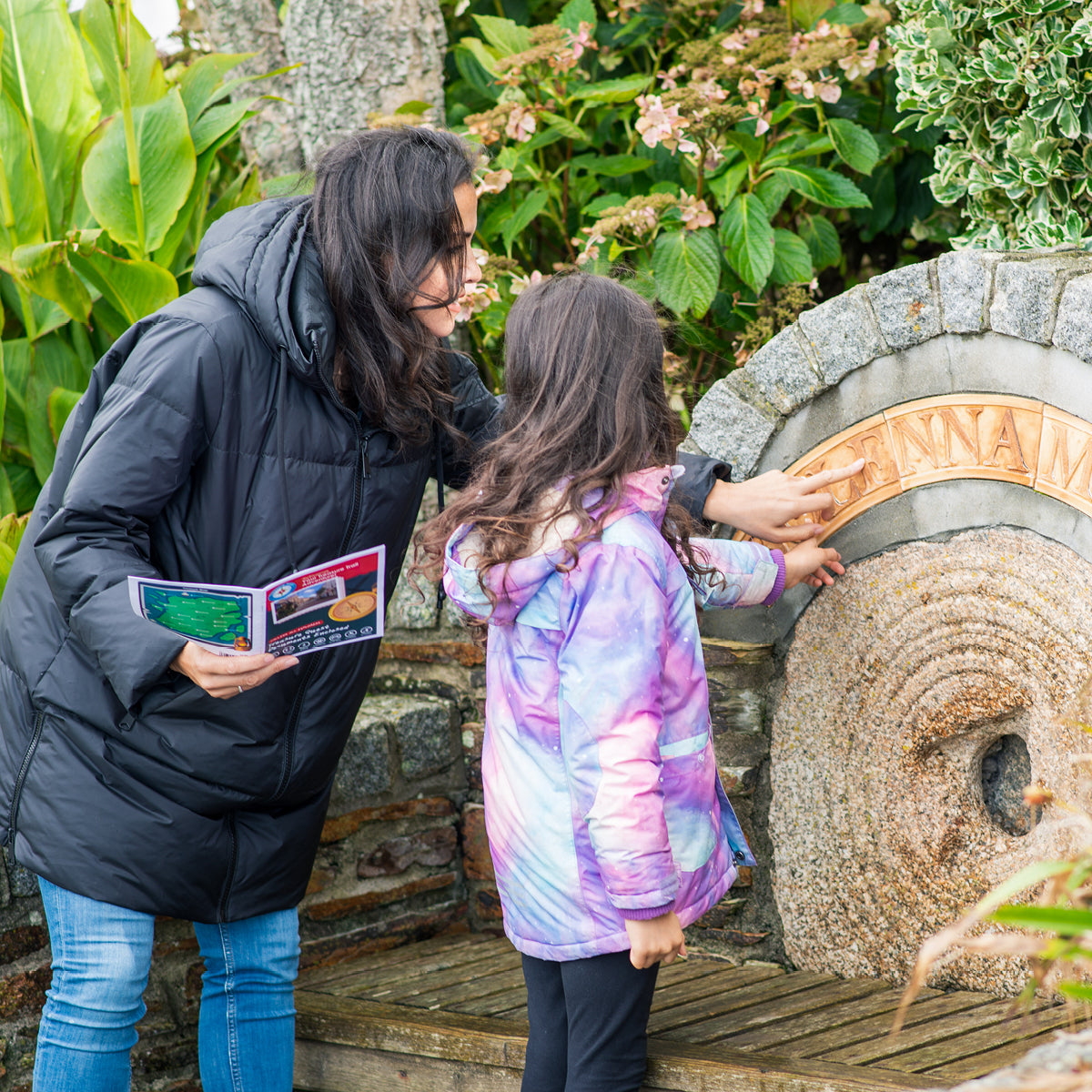
Are you looking for something to do with family and friends or seeking a fun day out with the kids in Cheddar? Then why not explore Cheddar on this self-guided treasure hunt themed Treasure Trail. As you follow the Trail route, can you solve the sneaky clues set on existing buildings, permanent features and monuments to discover the location of the buried treasure? This Trail starts at the entrance to Gough's Cave and explores the village of Cheddar, which people have been visiting for centuries to view the magnificent limestone gorge. Your clues are to be found around the town and ancient market square as you endeavour to reveal the location of the treasure!
Join the Adventure and Help Recover the Stolen Cheddar Recipe!
The Details
- A Treasure Hunt themed walking Treasure Trail around Cheddar
- Ideal for discovering more about where you live or exploring somewhere new
- Trails are done in your own time at your own pace
- This Trail is approximately 2.5 miles long and takes 2 hours to complete
- This Trail is suitable for all ages from 6 - 106 (no children necessary!)
- One Trail booklet is enough for 4-5 people
- Chance to win some real Treasure! All correct answers are entered into the monthly £100 prize draw
- Circular loop Trail
- Mobile phone text service for clue answers if you get stuck, ensuring that no mystery goes unsolved
- This Trail can be sent to you in the post or downloaded today for instant Trailing fun!
Trail Location
Trail Location
The Cheddar Treasure Trail starts at:
Cliff Road
Cheddar
Somerset
Somerset
BS27 3QF
England
Mini Explorer Club
Mini Explorer Club
We have three super duper themed Clubs for your child to enjoy as part of their Treasure Trail experience.
Perfect for 4-8 year olds, the concept behind the Clubs is that your child will get a bundle of goodies to excite
them about their forthcoming Trail experience, something to keep them entertained whilst travelling to and from
the Trail, and something to be given on completion of the Trail as a keepsake.
Show more »
What is a Treasure Trail?
What is a Treasure Trail?
Before You Set Off
Before You Set Off