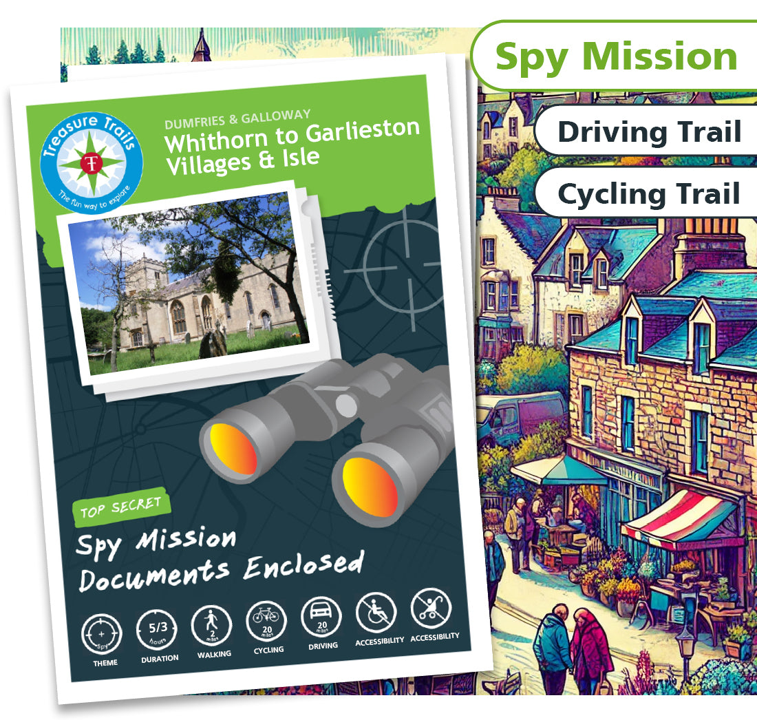


Whithorn to Garlieston - Villages & Isle
Whithorn to Garlieston - Villages & Isle
Couldn't load pickup availability
Secret Spy Mission Trail

Spy
Mission

3-5 Hours

2 miles

20 miles

20 miles

Not
Accessible

Not
Accessible

Dog
Friendly
The Secret Spy Mission in Whithorn - Can YOU Save the Machars?
Attention all agents! The Scottish Secret Spy Hidden Hood (SSSHH) has uncovered a devious plot by eastern bloc spies to split the Machars from mainland Scotland. These enemy agents have transported an unusual device to the area, intercepted by SSSHH operatives. But time is of the essence-the device is set to activate in just 10 hours, turning the Machars into a floating, movable base for the enemy. Your mission, should you choose to accept it, is to discover the deactivation code and save the Machars from a watery fate!
Spy Mission Through Whithorn and Beyond
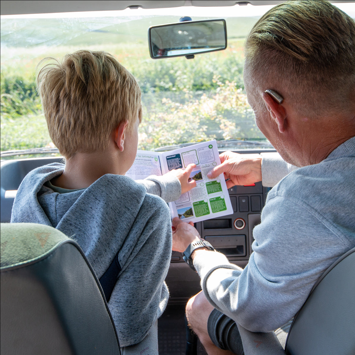
Join the ranks of the SSSHH and embark on this thrilling self-guided spy mission through Whithorn and its surrounding villages. Starting at the Whithorn Story Visitor Centre, you'll follow the Trail to the Priory and New Town Hall before heading to the villages of Sorbie and Garlieston. From there, you'll make your way to the Isle of Whithorn and St Ninians Chapel, before returning to Whithorn.
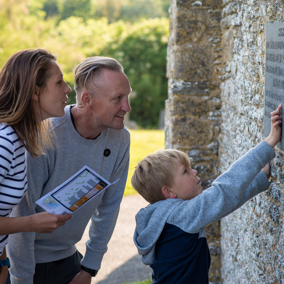
But beware-enemy agents may be lurking around every corner. Keep your eyes peeled for sneaky clues hidden on existing buildings, permanent features, and monuments as you work to crack the code and complete the mission, just like a true secret agent.
SSSHH… Will YOU be able to save the day and prevent the Machars from floating off into the Irish Sea?
The Details
- A Spy Mission themed walking Treasure Trail around Whithorn
- Ideal for discovering more about where you live or exploring somewhere new
- Trails are done in your own time at your own pace
- This Trail involes approximately 2 miles of walking and 20 miles of driving or cycling (depending on which you choose!) and will take around 5/3 hours to complete
- This Trail is suitable for all ages from 6 - 106 (no children necessary!)
- One Trail booklet is enough for 4-5 people
- Chance to win some real Treasure! All correct answers are entered into the monthly £100 prize draw
- Circular loop Trail
- Mobile phone text service for clue answers if you get stuck, ensuring that no mystery goes unsolved
- This Trail can be sent to you in the post or downloaded today for instant Trailing fun!
Trail Location
Trail Location
The Whithorn - driving/cycling Trail Treasure Trail starts at:
George Street
Whithorn
Dumfries and Galloway
Dumfries & Galloway
DG8 8NS
Scotland
Mini Secret Agent Club
Mini Secret Agent Club
We have three super duper themed Clubs for your child to enjoy as part of their Treasure Trail experience.
Perfect for 4-8 year olds, the concept behind the Clubs is that your child will get a bundle of goodies to excite
them about their forthcoming Trail experience, something to keep them entertained whilst travelling to and from
the Trail, and something to be given on completion of the Trail as a keepsake.
Show more »
What is a Treasure Trail?
What is a Treasure Trail?
Before You Set Off
Before You Set Off