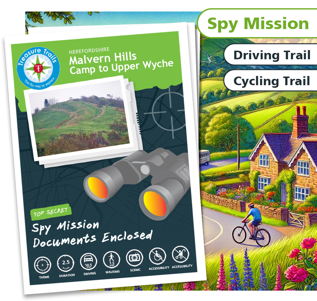


Malvern Hills - Camp to Upper Wyche
Malvern Hills - Camp to Upper Wyche
Couldn't load pickup availability
Secret Spy Mission Trail

Spy
Mission

2.5 Hours

1.5 miles

10.5 miles

10.5 miles

Not
Accessible

Not
Accessible

Dog
Friendly
Operation S.O.W.N: Save Our Water Now!
The notorious spy, Dr Horrid, is up to his dastardly tricks once again! This time, he has set his sights on the famous natural spring waters of the Malvern Hills, planting a 'dirty' device that threatens to contaminate the water and harm locals and tourists alike. Our undercover agent, Jane Pond, has discovered that the de-activation code for the device is hidden in clues scattered throughout the Hills. But she needs your help to crack the code and stop Dr Horrid's evil plan. Are you up for the challenge?
Spy Mission Through the Malvern Hills
Join the ranks of top agents as you embark on this thrilling Spy Mission Trail through the Malvern Hills. Beginning at the British Camp car park, your mission will take you on a circular route around this beautiful area, with five stopping points where you'll need to solve clues to uncover the de-activation code.
But beware-Dr Horrid and his henchmen are on the lookout for anyone trying to stop their devious plan. Keep your wits about you and use your spy skills to outsmart them and complete the mission!
The Malvern Hills are calling… Can YOU save the day and protect the famous spring waters?
The Details
- A Spy Mission themed driving and walking Treasure Trail around the Malvern Hills
- Ideal for discovering more about where you live or exploring somewhere new
- Trails are done in your own time at your own pace
- This Trail involves approximately 1.5 mile of walking and 10.5 miles of driving, and should take around 2.5 hours to complete
- This Trail is suitable for all ages from 6 - 106 (no children necessary!)
- One Trail booklet is enough for 4-5 people
- Chance to win some real Treasure! All correct answers are entered into the monthly £100 prize draw
- Circular loop Trail
- Mobile phone text service for clue answers if you get stuck, ensuring that no mystery goes unsolved
- This Trail can be sent to you in the post or downloaded today for instant Trailing fun!
Trail Location
Trail Location
The Drive around the Malvern Hills Treasure Trail starts at:
Jubilee Drive
Malvern
Worcestershire
Herefordshire
WR13 6DW
England
Mini Secret Agent Club
Mini Secret Agent Club
We have three super duper themed Clubs for your child to enjoy as part of their Treasure Trail experience.
Perfect for 4-8 year olds, the concept behind the Clubs is that your child will get a bundle of goodies to excite
them about their forthcoming Trail experience, something to keep them entertained whilst travelling to and from
the Trail, and something to be given on completion of the Trail as a keepsake.
Show more »
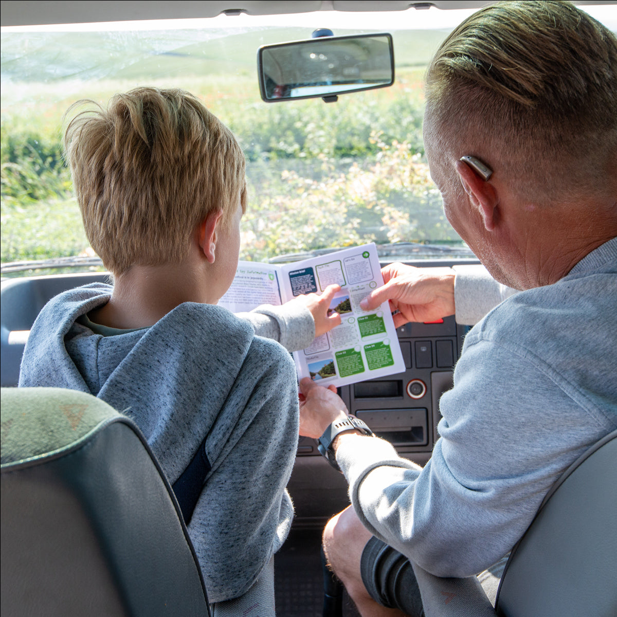
What is a Treasure Trail?
What is a Treasure Trail?
Before You Set Off
Before You Set Off
Please Note:
This is a clockwise driving Trail around the North Malvern Hills. If you prefer to walk or cycle the 10 mile route, please feel free to do so. The Trail ends at Upper Wyche, 2.5 miles from the start point.
There are several places along the way where you will need to park. You will need to buy a £4.40 day ticket which allows parking all day in all the car parks around the hills.